If you drive past Pearl Harbor at 7 a.m., coffee in hand, you’ll feel Oʻahu shift fast from freeway sprawl to dusty ridges and big, quiet beaches. You can call it “West Side” once you’re past Kapolei into ʻEwa, then Nānākuli, Waiʻanae, and Mākaha, but locals don’t always draw the line the same way. Pack water, reef-safe sunscreen, and cash for plate lunch, skip midday heat and full Ko Olina parking, and you’ll see why the labels matter…
Key Takeaways
- “West Side” usually means leeward Oʻahu past Pearl Harbor, where the island turns drier and more open toward ʻEwa, Kapolei, and Waiʻanae.
- Locals debate boundaries: Kapolei often counts, ʻEwa Beach is “West Side adjacent,” and Ko Olina is commonly seen as a resort bubble.
- The label becomes strongest past Ko Olina as Farrington Highway opens up toward Nānākuli, Waiʻanae town, Mākaha, and near Kaʻena Point.
- Best stops: Ko Olina lagoons for easy swimming, then continue to Waiʻanae Coast beaches like Mākaha and Yokohama Bay for wilder scenery.
- Plan logistics: arrive before 9 a.m. for parking, top off gas and water, and avoid H‑1/Farrington traffic that thickens after 3 p.m.

Oahu's Circle Island Tour Operated By Fil-Am Travel & Tours
Take a tour to explore the island of Oahu as you follow along the majestic coasts with the steep mountains at your side. This tour is a must, whether...

Oahu: Germaine's Luau
Come visit us at Germaine's Luau, where you will experience a traditional Hawaiian Luau on our beachfront property on the shores of West Oahu, capturi...
What Does “West Side Oʻahu” Usually Mean?
On Oʻahu, “West Side” usually means everything past Pearl Harbor where the city thins out and the island starts to feel sun-baked and wide open.
You’re in a stretch shaped by oceanic currents and trade winds, with leeward beaches, dusty ridges, and sunsets that hit hard around 6:00 pm year-round.
Locals use it loosely for ʻEwa through Waiʻanae and up toward Kaʻena Point, where services get sparse.
Recommended hotels for this trip
Compare well-reviewed stays from our destination hotel guides, then check live availability for your dates.
 Featured stay
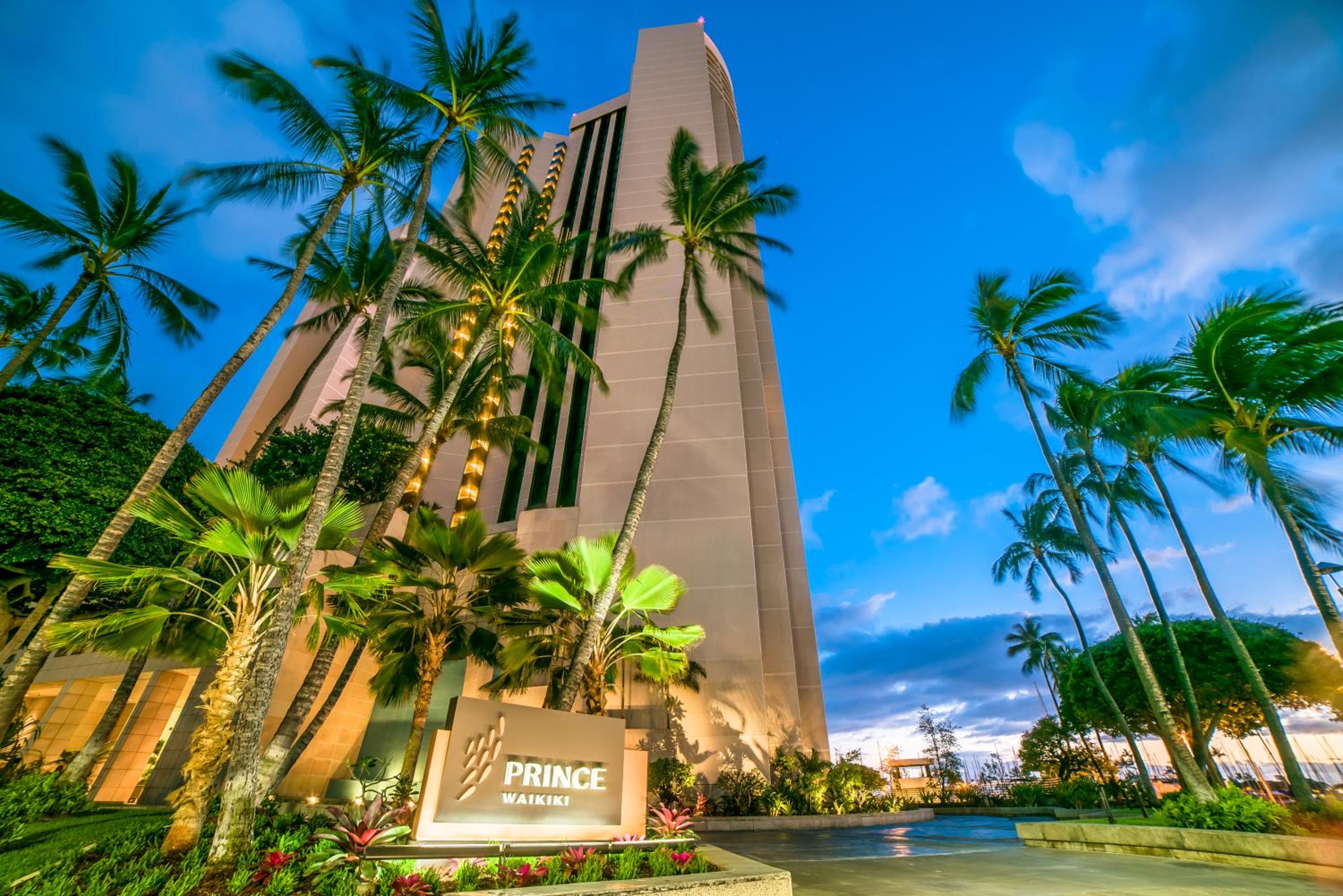
 Prince Waikiki
- Free WiFi
- Non-smoking rooms
- Air conditioning
Well suited to couples seeking ocean views, families who want two-queen rooms or multiroom suites, convention visitors, and travelers who value pools and on-site dining. It may be less appealing if you want to step directly…
- Oceanfront 2 Queens
- Room Only
- Refundable until Sep 12
 Guest favorite
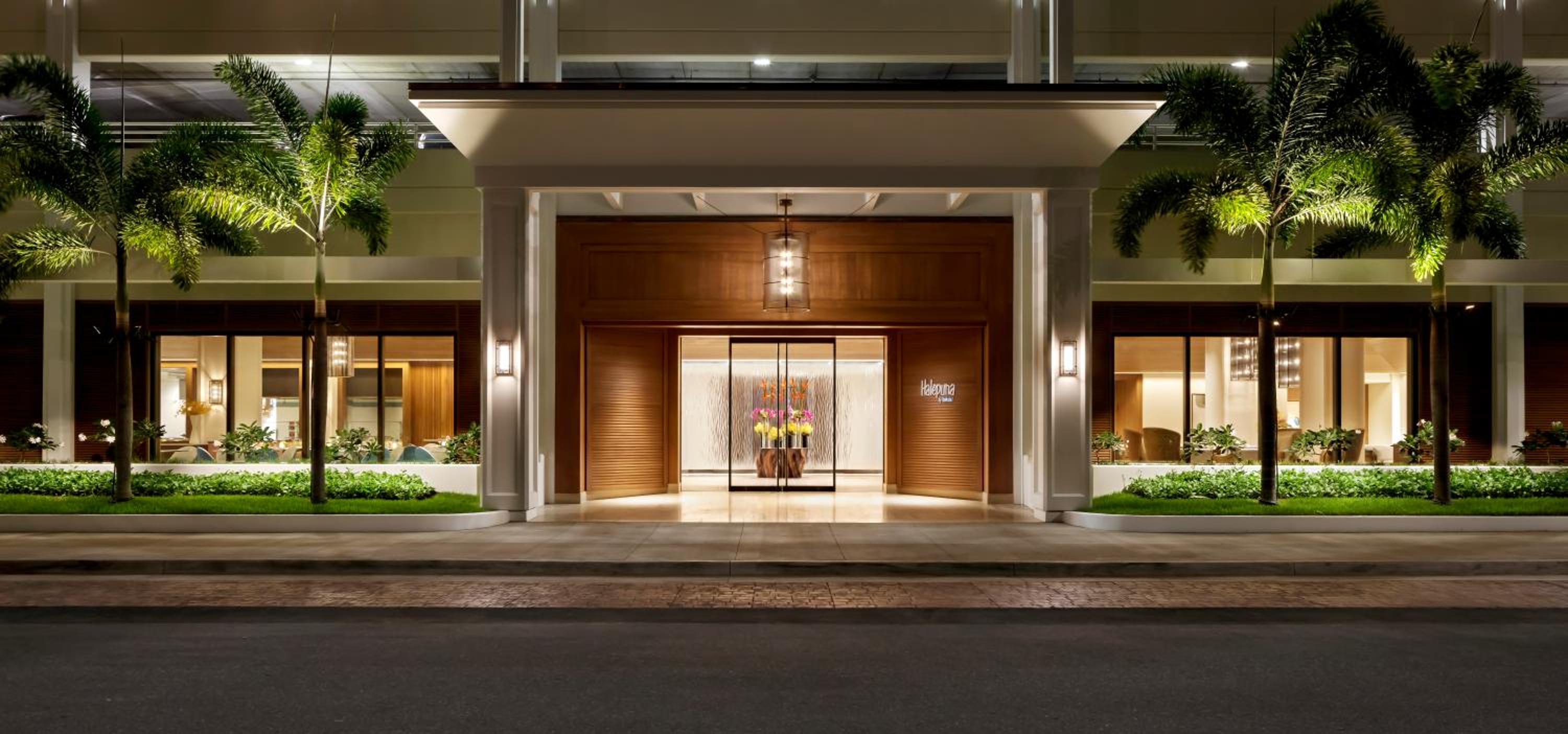
 Halepuna Waikiki by Halekulani - NO RESORT FEE
- Free WiFi
- Non-smoking rooms
- Air conditioning
You are likely to appreciate Halepuna if you want an upscale, relatively serene stay near Waikiki Beach, restaurants, and shopping, but do not need a beachfront resort campus. Couples and solo travelers can prioritize the king…
- Mountain Waikiki View Two Double Beds
- Room Only
- Non-refundable rate
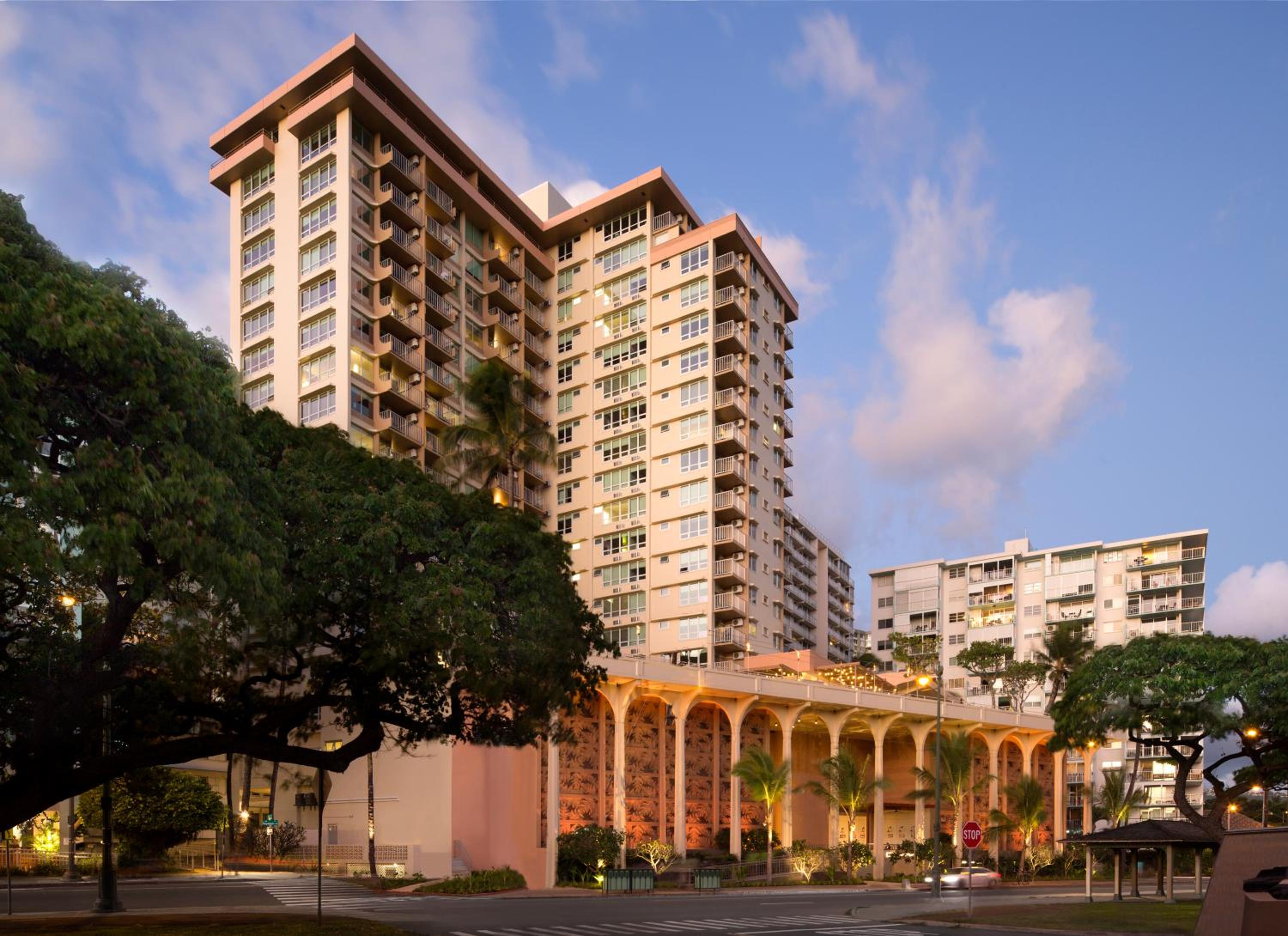 Guest favorite
 Queen Kapiolani Hotel
- Free WiFi
- Non-smoking rooms
- Air conditioning
You are likely to appreciate this hotel if location, Diamond Head scenery and easy access to the beach matter more than having a quiet resort compound. Double-queen rooms and larger suites can suit families, while studios…
- Studio, City View
- Room Only
- Non-refundable rate
Plan for heat, bring water, reef-safe sunscreen, and cash for plate lunches, about $12 to $18.
Weekends draw big family crowds, while midweek mornings feel calmer.
If you want context, time your visit with cultural festivals and community markets.
Skip rushing multiple stops; traffic on Farrington Highway can eat an hour.
Top off gas before you go.
If you’re exploring more of the island, you can pair a West Side day with a separate trip to the North Shore Oahu for its own mix of beaches, food trucks, and easy scenic stops.
What 3 Markers Tell You You’re “West Side”?
You’ll feel the shift as Farrington Highway opens up and the drive gets sunnier and less stop-and-go, so top off gas and grab water before late afternoon traffic stacks up. West Oahu’s best sunset stops stretch along uncrowded west side beaches where the sun drops directly into the ocean and the skies turn gold and pink.
Next, the leeward landmarks and wide ocean views start calling the shots, pack reef-safe sunscreen and a hat, and skip any rigid minute-by-minute plan if you want an easy sunset stop.
Finally, the community character changes in the best way, slower pacing, local plates, fewer tour buses, and if you’re trying to line up multiple beaches without the guesswork, a Viator loop with verified reviews, hotel pickup, free cancellation, and reserve now pay later can save time.
Farrington Highway Transition
Once Farrington Highway starts feeling less like a coastal commute and more like a long, sunlit ribbon of road, you’re crossing into West Side territory. You’ll notice traffic flow loosens after the last big retail strip, and intersections spread out.
Watch for zoning changes too: fewer office blocks, more light industrial yards and local markets set back from the shoulder.
Go early, 7 to 9 a.m., if you want smooth driving; after 3 p.m. commuter patterns reverse and backups stack fast. If you’re not renting a car, check public transit schedules, buses run but gaps can hit 30 to 45 minutes.
Bring water, a hat, and cash for quick snacks. Skip last minute detours unless you’ve got daylight and patience. Expect fewer crowds midday. If you’re planning to hop between North Shore and West Side in one day, factor in limited stalls and busy cross-traffic around Waimea Bay parking so you don’t lose your best driving window on Farrington.
Leeward Landmarks And Views
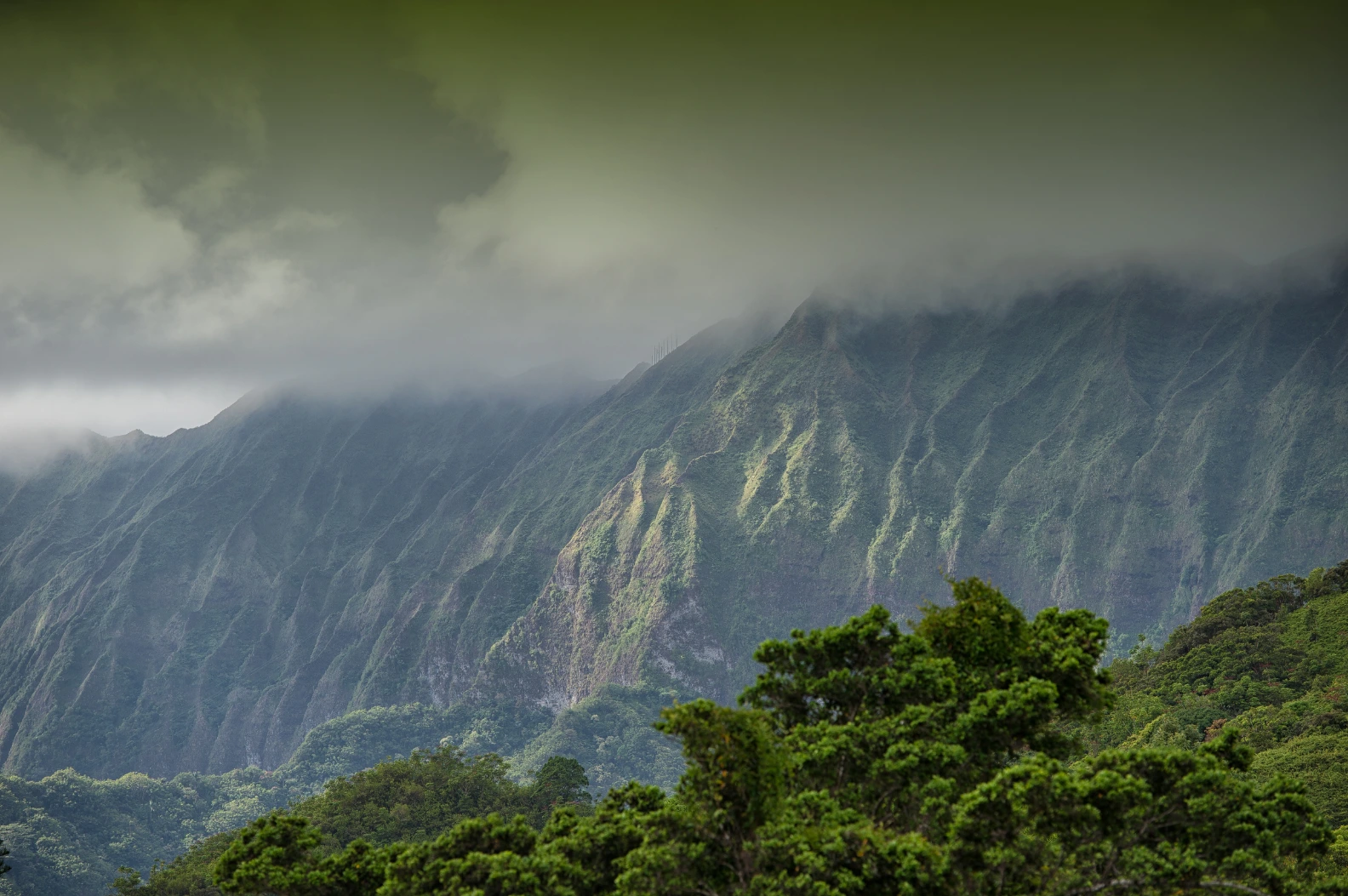
Scan the horizon for three telltale markers and West Side Oahu clicks into place fast: the long sweep of Kaena Point’s ridgeline, the bright salt flats at Kalaeloa, and the steady line of Makua Valley’s green folds dropping toward the sea. You’ll spot West Side by landforms, not street signs, and the light gets sharper after 3 pm. From Keawaula Beach, neighboring Yokohama Bay views frame the Kaena ridgeline and some of the most dramatic late-day light on the Leeward coast.
| Marker | Best quick stop |
|---|---|
| Kaena ridgeline | Park at Yokohama Bay, 10 min walk to cliff outlooks. |
| Kalaeloa salt flats | Sunrise for pink pools; skip mid day glare. |
| Makua folds | Pullout views, reef vistas, bring binoculars. |
| Leeward coast | Hunt ocean terraces, stay off edges. |
Aim for weekdays; weekends fill by 9 am. Pack water, hat, and reef-safe sunscreen. For sunset panoramas, arrive 45 minutes early for wind.
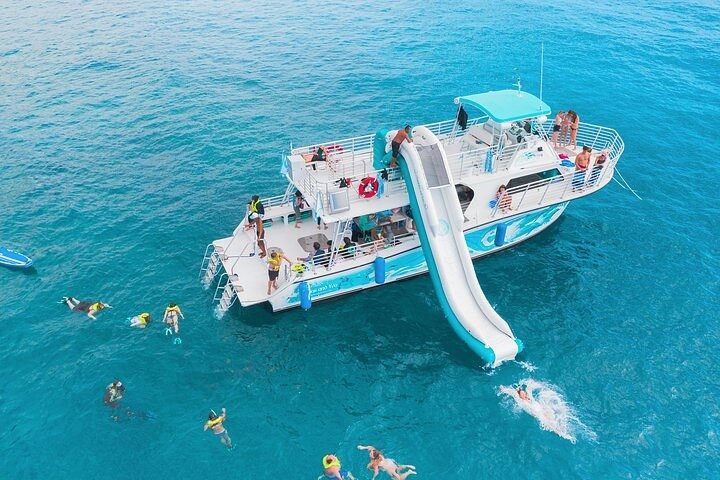
Oahu Dolphin and Snorkel Tour with Waikiki Pickup & Lunch
Join one of Oahu’s most popular ocean adventures and experience why over 300,000 guests have fallen in love with t...

Oahu: Full or Half Day Grand Circle Island Tour
Choose from two exciting ways to experience Oahu's top attractions, scenic beauty, and local culture.Option 1: Dol...

Oahu Grand Circle Island Experience from Waikiki
Enjoy Grand Circle Island experience tour with breathtaking views of Amelia Earhart Lookout on Diamond Head, admire...
Community Character Shift
As the road bends past the last big resort strip, West Side Oahu announces itself in the everyday details: more pickup trucks than convertibles, fewer souvenir stops, and beaches that feel wilder than managed. You’ll notice the rural urban mix in how people move and greet you. Look for three markers:
- Plate lunch lines at 11 a.m., $12 to $16, mostly locals, cash moves fastest.
- Murals, car washes, and kids practicing paddling after school, a hint of generational shifts.
- Roadside fruit stands and fewer valet lots, so bring small bills, water, and reef-safe sunscreen.
Just as Haleiwa marks a shift on the North Shore, heading into Oahu’s West Side communities gives you that same feeling of crossing into a more local, lived-in part of the island. Skip peak Sunday afternoons when beach parks fill and parking becomes a slow hunt. Go early, before 9 a.m., for quieter sand and breezes, and skip loud speaker setups today.
Where Does the West Side Start on H-1?
If you’re driving west on H-1 and wondering when “town” fades into West Side Oahu, use the H-1 to H-201 split and the Pearl Harbor area as your practical pivot point, then watch for the scenery to open up after Aloha Stadium and the Hālawa interchange. If you’re coming from Waikiki, you’ll likely merge onto H-1 via the same corridor you’d use for the easy route to Waimea Falls, so the transition from town to West Side will feel familiar. From the H 1 beginnings near downtown, freeway signage shifts from city exits to longer-distance destinations, and you’ll feel neighborhood shifts as warehouses give way to valleys. Check mile markers around the stadium to track progress, especially if you’re timing meetups. Expect traffic patterns to thicken on weekday mornings, so pad commute times by 20 to 40 minutes. Bring water and a charged phone, skip lane changes, and let the drive settle into a sunnier, breezier rhythm.
Where Do People Stop Calling It “West Side”?
Although locals toss around “West Side” like it’s one place, the label usually starts to fade once you roll past Kapolei and Ko Olina and the roads feel more resort-polished than neighborhood-gritty.
West Side feels like one place, until you pass Kapolei and Ko Olina, where “leeward coast” starts to sound more right.
From there, you’ll hear people switch to “leeward coast” or just name the beach, especially when your day follows smoother traffic patterns and fewer stoplight clusters. You’ll notice the vibe change, and locals talk quieter. If you keep heading north and swing over toward Kualoa, the feel shifts again into wide-open country where places like the 4,000-acre Kualoa Ranch blend film locations, ancient fishponds, and working farm land.
- If you’re chasing sunset swims, arrive by 4:30 pm, parking fills fast and paid lots can hit $10.
- During seasonal festivals, plan for extra 20 minutes, and bring cash for plate lunch and shave ice.
- Skip peak noon heat, pack reef shoes and water, and stick to marked paths, the ocean can surprise you.
Is Kapolei Considered West Side Oʻahu?
Kapolei sits on the seam between “real West Side” and the polished Ko Olina resort zone, so yes, most locals still count it as West Side Oʻahu, just with a newer, master-planned feel. For a deeper breakdown of other areas that might fit your travel style, check out how Oahu neighborhoods match different vacation vibes across the island.
You’ll notice it in the boulevards, big-box shopping, and cars streaming by. Arrive midmorning on weekdays and you’ll beat the lunch rush at Ka Makana Aliʻi, and parking stays easy. Expect plates around $15.
After 3 pm, commuter patterns thicken on H-1, so plan beach time earlier and sunset dinner nearer your hotel.
Kapolei development also means more sidewalks and shade trees, but fewer mom-and-pop plates, so bring lunch and a water bottle.
If you want a low-effort intro, a Viator loop with hotel pickup and free cancellation can streamline stops.
Still comparing West Side Oahu Scenic Drive And Itinerary?
Ask for tour ideas, hotel suggestions, or a simple trip plan that combines both.
Trip Helper
Is ʻEwa Beach Considered West Side Oʻahu?
ʻEwa Beach is more “West Side adjacent” than full-on West Side, and locals will sort it differently depending on whether they’re talking culture or geography. You’ll feel town-linked commuting vibes, yet the Ewa Shores coastline still gives you wide sky and calm water at sunset. Beachfront Development has filled in old cane lands, so expect parks, paths, and fewer raw stretches than farther west. Compared with the quiet Oahu beach towns farther from Honolulu, ʻEwa feels more residential and commuter-oriented, while still offering a softer alternative to busy Waikīkī.
- Go early, 7 to 9 a.m., for light crowds and easier parking.
- Bring reef-safe sunscreen and a hat, and skip expecting consistent Surf Culture.
- Respect Lagoon Ecology around Puʻuloa, watch birds, don’t wade into murky shallows.
You can picnic for under $20, but pack water since shops thin out near the sand. Weekends get busier after 10.
Is Ko Olina “West Side” or Its Own Resort Zone?
Ko Olina sits just past Kapolei on Oʻahu’s leeward coast, close enough that you can reach the lagoons in about 35 to 50 minutes from Waikīkī, but it feels like a gated pocket of calm. You’ll notice the split fast: the manicured resorts and paid parking can read “resort zone,” while nearby locals may still call it West Side depending on where they draw the line. If you want an easy, low-planning day, pack reef-safe sunscreen, water shoes, and snacks, skip peak noon crowds, and consider a Viator lagoon and coastline shuttle tour only if you need hotel pickup, tight timing, and verified reviews with free cancellation and reserve now pay later. If you’re considering snorkeling on this side of the island too, a guided snorkel at nearby Hanauma Bay can be worth it for built-in logistics, safety tips, and local insight.
Ko Olina’s Geographic Placement
On the island’s sunlit southwest edge, you’ll find Ko Olina sitting just beyond the everyday sprawl of West Oahu and leaning hard into resort life. Its placement is easy to map: it hugs the coast west of Kapolei, before you reach the open, windier leeward shoreline.
Use these cues to orient yourself:
- Follow H-1 to the Ko Olina exit, 10 to 15 minutes from Kapolei in light traffic.
- Notice Lagoon proximity. The four lagoons sit a short stroll from most hotels, but midday paths get crowded.
- Budget $10 to $20 for parking if you’re not staying overnight.
From Ko Olina, many visitors also plan day trips to the Polynesian Cultural Center transportation options described for reaching the island’s popular cultural attraction.
Bring reef-safe sunscreen, water, and sandals for hot pavement. Skip peak noon if you want quieter photos. Arrive by 8 a.m. for smoother swims.
Resort Zone Versus West Side
While locals may lump anything past Kapolei into “West Side,” you’ll feel the line shift the moment you turn into Ko Olina: manicured lagoons, security patrols, and resort pricing replace the everyday beach-park rhythm. You’re still on Oahu’s leeward coast, but the resort identity is curated: valet lanes, towel kiosks, and sunset cocktails. Many visitors compare Ko Olina with other best areas to stay on Oahu, like Waikiki or North Shore, when deciding where to base their trip.
| What you’ll notice | What it means for you |
|---|---|
| Access roads | Slower entry at 4 to 6 pm, plan extra 15 minutes |
| Costs | Parking can run $25, pack snacks and water |
| Crowds | Lagoon mornings stay calm, afternoons get family loud |
| Bring or skip | Bring reef shoes, skip bulky coolers and speakers |
For lagoon-hopping, arrive before 9 am, or book a verified-review Viator shuttle with hotel pickup, free cancellation, reserve now pay later.

Waikiki Luau Buffet with Optional Rock-A-Hula Show Ticket
Join us for a “Hawaiian night” with an upscale all you can eat buffet and Luau-themed dinner in the heart of Wai...

Paina Waikiki Luau at Waikiki Beach Marriott
Everything that makes renowned Waikiki, Oahu, a unique and exciting place is celebrated at Pāʻina Waikīkī!A u...
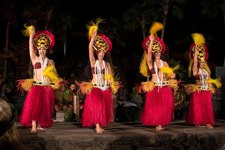
Oahu: Chief's Luau Admission
Attend a luau on Oahu produced by the Original World Fire Knife Dance Champion, Chief Sielu. During this 3 to 3.5-...
Local Perception And Boundaries
Even if you’re driving the same sunny leeward highway, locals often treat Ko Olina as its own resort bubble, not the “West Side” they mean when they talk story about beaches and daily life. You’ll feel it at the gates, the lagoons, and the valet rhythm at sunset.
If you want to read the room, use these cues:
- Ask where someone grew up. Kapolei and Waianae usually signal West Side community identity.
- Note your costs. Ko Olina parking can run $30, while West Side pulls are free if you pack out.
- Watch the crowd. Lagoons peak 10am to 3pm; West Side sands thin after 5pm.
Those boundary debates aren’t about maps, they’re about who belongs. Just like how visitors learn there’s no longer a public ferry between Honolulu and Molokai and instead rely on Honolulu to Molokai flights, you’ll pick up these local lines by listening, asking, and adjusting how you move. Bring reef-safe sunscreen, water, and patience.
Does Nānākuli Count as West Side Oʻahu?
Nānākuli often gets lumped in with “West Side” the moment you start driving past Kapolei and the freeway gives way to open sky and long, sunbaked stretches of Farrington Highway. If you’re using local vibes as your compass, you can call it West Side, but it’s also a threshold where suburbia fades and the coast turns raw. Spend time at the beach park and you’ll feel it: surfing culture, slippers on hot pavement, and winds that smell like salt. Look closer and nānākuli history shows plantation roots alongside newer housing. Spend an afternoon at Nānākuli Beach Park and you’ll see how local families use this stretch of coast as an everyday gathering place, not just a scenic stop. Bring reef shoes and water, shade is scarce, and parking fills by late morning on weekends. Skip leaving valuables in the car.
You’ll also notice coastal erosion, so keep back from crumbling sand edges.
Which Towns Are “West Side” (Waiʻanae–Mākaha)?
Once you pass Nānākuli, you’re on the Waiʻanae Coast proper, running through Waiʻanae town up to Mākaha where the road hugs dry ridgelines and bright, wind-brushed beaches. You’ll want to know which stops actually count as “West Side” for planning, which beaches are best at sunrise, and where parking fills by 9 a.m., so bring water, reef-safe sunscreen, and cash for plate lunch and skip the “quick detour” that turns into an hour. If you’d rather not juggle timing, a Viator circle-island day tour with verified reviews and hotel pickup can handle the logistics, plus free cancellation and reserve now pay later, but you’ll trade flexibility for a fixed schedule. If you’re pairing West Side exploring with a cultural stop, many circle-island itineraries also include time at the Polynesian Cultural Center, where you can dive into hands-on village experiences and an evening show without needing a separate rental car plan.
Waiʻanae Coast Boundaries
If you’re trying to pin down what locals mean by “West Side,” start with the Waiʻanae Coast, the long, sun-baked stretch from Nānākuli through Waiʻanae town and all the way to Mākaha, where the road tightens and the beaches turn raw and scenic. For a different but similarly simple day away from Waikiki, you can look at this North Shore day trip as a model for keeping stops realistic and high‑reward.
For boundaries, think mountain-to-reef: the Waiʻanae Range on your mauka side, and a coastal strip on your makai side shaped by coastal erosion.
You’ll feel Waiʻanae heritage in churches, fishing launches, and markets, but you don’t need a detour to understand the line.
Use this checklist:
- West Side begins once you’re past Ko Olina traffic and the scenery turns drier.
- It stays “West” until the highway pinches at Mākaha.
- Pack water, reef-safe sunscreen, and cash, skip rush hour.
Key Towns And Beaches
Past the last resort roundabouts, the West Side starts reading like a road trip: small towns, long beaches, and fewer signs telling you what to do.
In Nānākuli and Māʻili, you’ll see everyday Oʻahu, corner stores, plate-lunch smoke, and wide sand that’s quiet on weekdays.
Waiʻanae town brings the most services, gas, groceries, and a quick stop at the boat harbor, but keep valuables out of sight.
For beach access, look for marked pullouts and county parks, then arrive before 9 a.m. to snag parking. If you’re planning to head over to Kailua later in the trip, brush up on Kailua Beach parking so you’re ready for a different set of crowds and rules.
Keep driving to Mākaha for surf breaks and golden-hour light.
You’ll feel the town history in old churches and local murals.
Bring water, reef-safe sunscreen, and cash.
Skip loud speakers.
Weekends fill by noon, yet beach access stays free.
West Side vs Central Oʻahu: Where’s the Boundary?
Although locals toss around “West Side” like everyone agrees, the boundary with Central Oʻahu shifts depending on whether you’re talking commute time, weather, or where the scenery turns from suburbs to wide-open shoreline. For most travelers, you’ll feel the change after Kapolei, when traffic thins and salt air wins. If you’re coming from the Windward Coast, Kailua, Kāneʻohe, or those coastal drives, you’ll really notice how dry and open the West Side feels once you cross past Kapolei.
Use these Boundary markers and Travel logistics to decide:
- If you’re shopping at Ka Makana Aliʻi, you’re still Central, expect $3 parking and crowds by 11 a.m.
- Once you pass Ko Olina, bring water and sunscreen, services drop, and sunsets get quieter.
- Hit Makaha or Waianae only with a full tank, cash for plate lunch, and daylight driving.
Book a Viator loop tour only if you want hotel pickup and free cancellation.
Frequently Asked Questions
What’s the Best Time of Day to Drive to the West Side?
Drive early morning if you want the smoothest traffic and cooler temps. You’ll reach beaches before crowds, park easily, and enjoy calm water. Head back at golden hour for softer light and fewer backups too.
Are There Safety Concerns for Visitors on the West Side?
You’ll feel generally safe at times, but you should stay aware: check local Crime rates, lock valuables, and avoid isolated beaches after dark. Respect Natural hazards, strong surf, heat, and remote roads, so you don’t get stranded.
Which West Side Beaches Have Lifeguards and Restrooms?
You’ll find lifeguards and Restroom facilities at Pokai Bay, Waiʻanae Beach Park, Māʻili Beach Park, and Nānākuli Beach Park; Keawaula (Yokohama) often has both too. Check Lifeguard schedules online, since staffing varies daily by season.
What Public Transit Options Reach West Side Towns From Honolulu?
You can ride TheBus from Honolulu to west side towns, using an express bus for faster trips, then transfer to local routes. You can also book shuttle services to Ko Olina, Kapolei, and Waianae connections.
Where Can I Find the Best Local Food Spots on the West Side?
Why not start in Waianae and Nanakuli? You’ll find plate-lunch counters, poke, and malasadas by locals. Hit Farmers markets for fresh fruit, then chase Shrimp trucks near Haleiwa before sunset for garlic butter goodness too.
Conclusion
By the time H-1 thins past Pearl Harbor, you’re “West Side” whether your GPS agrees or not. Use Kapolei for groceries and gas, then decide: Ko Olina’s tidy lagoons for a splurge, or Waiʻanae to Mākaha for real sand and fewer rules. Go early, parking fills by 9 a.m. Bring water, reef-safe sunscreen, cash for plate lunch. Skip peak noon heat and reckless cliff jumps. Use a Viator tour with pickup and verified reviews too.
Oahu's Circle Island Tour Operated By Fil-Am Travel & Tours
Take a tour to explore the island of Oahu as you follow along the majestic coasts with the steep mountains at your side. This tour is a must, whether...
Oahu: Germaine's Luau
Come visit us at Germaine's Luau, where you will experience a traditional Hawaiian Luau on our beachfront property o...